
Plik:Map of Kentucky highlighting Letcher County.svg

Wielkość pliku podglądu PNG dla pliku SVG: 800 × 345 pikseli Inne rozdzielczości: 320 × 138 pikseli | 640 × 276 pikseli | 1024 × 441 pikseli | 1280 × 551 pikseli | 2560 × 1103 pikseli | 6770 × 2916 pikseli.
Rozmiar pierwotny (Plik SVG, nominalnie 6770 × 2916 pikseli, rozmiar pliku: 127 KB)
| Plik Map of Kentucky highlighting Letcher County.svg znajduje się w Wikimedia Commons – repozytorium wolnych zasobów. Dane z jego strony opisu znajdują się poniżej. |
Opis
| Opis |
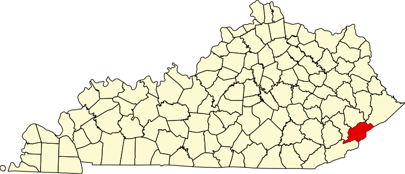
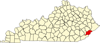
English: This is a locator map showing Letcher County in Kentucky. For more information, see Commons:United States county locator maps. |
| Data | |
| Źródło |
Praca własna: English: The maps use data from nationalatlas.gov, specifically countyp020.tar.gz on the Raw Data Download page. The maps also use state outline data from statesp020.tar.gz. The Florida maps use hydrogm020.tar.gz to display Lake Okeechobee. |
| Autor | David Benbennick |
Licencja
| Ja, właściciel praw autorskich do tej pracy, udostępniam ją jako własność publiczną. Dotyczy to całego świata. W niektórych krajach może nie być to prawnie możliwe, jeśli tak, to: Zapewniam każdemu prawo do użycia tej pracy w dowolnym celu, bez żadnych ograniczeń, chyba że te ograniczenia są wymagane przez prawo. |
Historia pliku
Kliknij na datę/czas, aby zobaczyć, jak plik wyglądał w tym czasie.
| Data i czas | Miniatura | Wymiary | Użytkownik | Opis | |
|---|---|---|---|---|---|
| aktualny | 14:23, 12 lut 2006 | | 6770 × 2916 (127 KB) | David Benbennick | {{subst:User:Dbenbenn/clm|county=Letcher County|state=Kentucky}} |
Lokalne wykorzystanie pliku
Poniższa strona korzysta z tego pliku:
Globalne wykorzystanie pliku
Ten plik jest wykorzystywany także w innych projektach wiki:
- Wykorzystanie na ar.wikipedia.org
- Wykorzystanie na bg.wikipedia.org
- Wykorzystanie na bpy.wikipedia.org
- Wykorzystanie na cdo.wikipedia.org
- Wykorzystanie na ceb.wikipedia.org
- Wykorzystanie na ce.wikipedia.org
- Wykorzystanie na cy.wikipedia.org
- Wykorzystanie na de.wikipedia.org
- Wykorzystanie na en.wikipedia.org
- Letcher County, Kentucky
- Blackey, Kentucky
- Fleming-Neon, Kentucky
- Jenkins, Kentucky
- McRoberts, Kentucky
- Whitesburg, Kentucky
- North Fork Kentucky River
- Seco, Kentucky
- List of counties in Kentucky
- Isom, Kentucky
- Eastern Kentucky Coalfield
- Template:Letcher County, Kentucky
- User:Nyttend/County templates/KY/2
- Letcher, Kentucky
- Ermine, Kentucky
- David A. Zegeer Coal-Railroad Museum
- National Register of Historic Places listings in Letcher County, Kentucky
- Category:Populated places in Letcher County, Kentucky
- Carbon Glow, Kentucky
- Gaskill, Kentucky
- Little Colly, Kentucky
- Uz, Kentucky
- Kingdom Come, Kentucky
- Hot Spot, Kentucky
- Ice, Kentucky
- Red Star, Kentucky
- Hubert, Kentucky
- Indian Bottom, Kentucky
- Neon, Letcher County, Kentucky
- Tillie, Kentucky
- Ulvah, Kentucky
Pokaż listę globalnego wykorzystania tego pliku.