
Plik:Europe-Great Britain.svg

Rozmiar pierwotny (Plik SVG, nominalnie 450 × 456 pikseli, rozmiar pliku: 735 KB)
| Plik Europe-Great Britain.svg znajduje się w Wikimedia Commons – repozytorium wolnych zasobów. Dane z jego strony opisu znajdują się poniżej. |

Opis
| Opis |
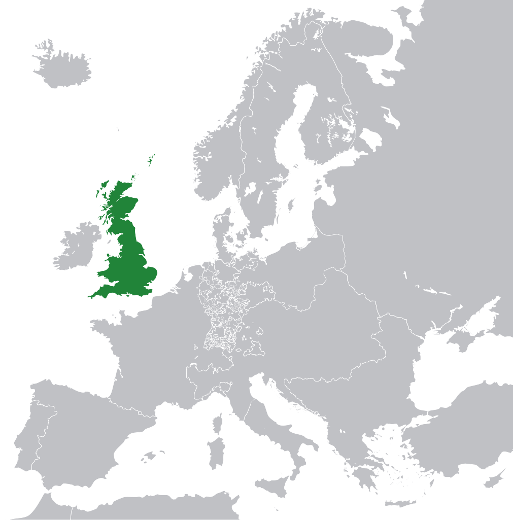
English: Great Britain in 1800 Europe. |
||
| Data | |||
| Źródło | File:Europe 1789.svg | ||
| Autor | Rob984 | ||
| Inne wersje |
|
.svg)
Licencja
- Wolno:
- dzielić się – kopiować, rozpowszechniać, odtwarzać i wykonywać utwór
- modyfikować – tworzyć utwory zależne
- Na następujących warunkach:
- uznanie autorstwa – musisz określić autorstwo utworu, podać link do licencji, a także wskazać czy utwór został zmieniony. Możesz to zrobić w każdy rozsądny sposób, o ile nie będzie to sugerować, że licencjodawca popiera Ciebie lub Twoje użycie utworu.
- na tych samych warunkach – Jeśli zmienia się lub przekształca niniejszy utwór, lub tworzy inny na jego podstawie, można rozpowszechniać powstały w ten sposób nowy utwór tylko na podstawie tej samej lub podobnej licencji.
Ten plik może nie mieć podanej prawidłowej informacji o jego stanie prawnym.
Powód wskazany przez dodającego ten komunikat: appears to be an uncredited (unattributed) derivative work of both Europe 1789.svg which is licensed under the Creative Commons Attribution-Share Alike 3.0 Unported licence. I believe the currently supplied license (Creative Commons Attribution-Share Alike 4.0 International) is compatible with this but the required attribution has not been supplied. Ten szablon powinien być użyty w sytuacji, gdy informacja o warunkach wykorzystania (licencja) wygląda na niepoprawną lub nieścisłą, celem jej wyjaśnienia. Doświadczony użytkownik powinien skontaktować się z ładującym plik i wskazać poprawną licencję lub poruszyć kwestię na stronie dyskusji pliku. Zawiadom ładującego plik za pomocą:
Pliki oznaczone tym szablonem są zebrane w kategorii: Category:Items with disputed copyright information.
|
Historia pliku
Kliknij na datę/czas, aby zobaczyć, jak plik wyglądał w tym czasie.
| Data i czas | Miniatura | Wymiary | Użytkownik | Opis | |
|---|---|---|---|---|---|
| aktualny | 13:53, 8 lis 2014 | | 450 × 456 (735 KB) | Rob984 | User created page with UploadWizard |
Lokalne wykorzystanie pliku
Następujące strony korzystają z tego pliku:
Globalne wykorzystanie pliku
Ten plik jest wykorzystywany także w innych projektach wiki:
- Wykorzystanie na bg.wikipedia.org
- Wykorzystanie na en.wikipedia.org
- Wykorzystanie na fr.wikipedia.org
- Wykorzystanie na hi.wikipedia.org
- Wykorzystanie na hr.wikipedia.org
- Wykorzystanie na ja.wikipedia.org
- Wykorzystanie na ka.wikipedia.org
- Wykorzystanie na nl.wikipedia.org
- Wykorzystanie na rue.wikipedia.org
- Wykorzystanie na ru.wikipedia.org
- Wykorzystanie na zh-min-nan.wikipedia.org