
Plik:Hjortoe.jpg
Rozmiar pierwotny (842 × 521 pikseli, rozmiar pliku: 494 KB, typ MIME: image/jpeg)
| Plik Hjortoe.jpg znajduje się w Wikimedia Commons – repozytorium wolnych zasobów. Dane z jego strony opisu znajdują się poniżej. |
| Opis |
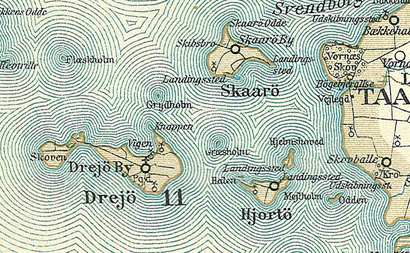
Dansk: Kort over øerne Drejø, Hjortø, Skarø, Græsholm, Odden og Mejlholm i den sydlige del af Svendborg Amt
English: Map of the southern part of Svendborg County in Denmark - The islands: Drejø, Hjortø, Skarø, Græsholm, Odden and Mejlholm. |
||||
| Data | około 1900 | ||||
| Źródło | Frems Amtskort over Danmark | ||||
| Autor | Fotolitograferede i Generalstabens Topografiske Afdeling | ||||
| Licencja (Ponowne użycie tego pliku) |
|
||||
| Inne wersje | Prace pochodne od tego pliku: Lindelse Nor.jpg da:Svendborg Amt | ||||

| To zdjęcie było poddane obróbce cyfrowej i może różnić się od wersji oryginalnej. Zmiany: Drejø,Hjortø, Skarø, Græsholm, Odden og Mejlholm. Oryginał można obejrzeć tu: Svendborg Amt.jpg:
|
| Adnotacje | To zdjęcie jest opatrzone adnotacją: Zobacz adnotacje w Commons |
Historia pliku
Kliknij na datę/czas, aby zobaczyć, jak plik wyglądał w tym czasie.
| Data i czas | Miniatura | Wymiary | Użytkownik | Opis | |
|---|---|---|---|---|---|
| aktualny | 15:37, 26 sie 2009 | | 842 × 521 (494 KB) | Cropbot | {{Information |Description=da:Kort over den sydlige del af Svendborg Amt<br/>en:Map of the southern part of Svendborg County in Denmark |Source=''Frems Amtskort over Danmark'' |Date=ca. 1900 |Author= Fotolitograferede i Generalstabens Topografiske Afdelin |
Lokalne wykorzystanie pliku
Poniższa strona korzysta z tego pliku:
Globalne wykorzystanie pliku
Ten plik jest wykorzystywany także w innych projektach wiki:
- Wykorzystanie na ca.wikipedia.org
- Wykorzystanie na ceb.wikipedia.org
- Wykorzystanie na da.wikipedia.org
- Wykorzystanie na de.wikipedia.org
- Wykorzystanie na en.wikipedia.org
- Wykorzystanie na es.wikipedia.org
- Wykorzystanie na no.wikipedia.org
- Wykorzystanie na pt.wikipedia.org
- Wykorzystanie na www.wikidata.org